Located in an isolated bay on the northern side of Moskenesøy and only reached by foot, Kvalvika feels as though it could be at the edge of the world, not an easy hour’s walk. Here turquoise waves crash on golden sands and vertical cliffs rise into the clouds in a display of Lofoten at its best.
Location: Kvalvika
Distance: 2 km
Elevation: 200 m
Hike duration: 1-1,5h
Difficulty: Easy
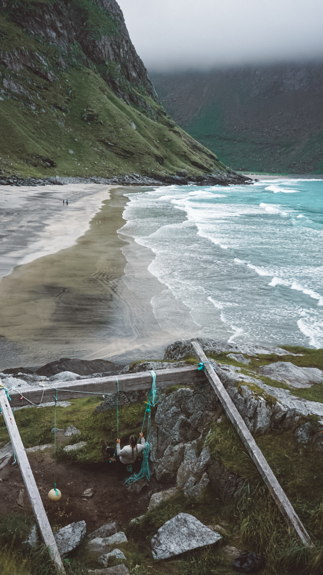
Getting To Kvalvika Beach
To kick off your adventure, head to Fredvang from any location on Lofoten by taking the E10. Parking has become trickier in Fredvang over the years, with the main Kvalvika trailhead parking area in Torsfjord now closed in the summer months. But fear not, I've got you covered with some alternative options:
Kvalvika Paid Parking
Old Fredvang school. Look for the signpost pointing to a road on the right before entering Fredvang. Follow the road to the old school building. In summer, there might be a shuttle bus (for a fee) to the trailhead, but it's always good to check if it's running. Otherwise, it's a 3km walk through Fredvang to Torsfjord.
First farm. Instead of turning left into Fredvang, continue straight. The road will make sharp right and left turns, eventually leading you to a farm with advertised parking.
Innersand farm. Follow the road towards Yttersand, then turn left to Innersand. You can park at the farm here, and there's a new track that will take you to Kvalvika and Ryten.
Kvalvika Free Parking:
Turn left into Fredvang and continue along the road. After approximately 3 km, you'll spot a red boat shed on the left near the water. Although parking here is closed, there may be pullouts a few hundred meters further along the road. Keep in mind that these may also be closed in the summer of 2023, so plan accordingly.
Kvalvika Trail
If you're starting from Torsfjord to Kvalvika
Directly across from the old parking area (which is now closed), you'll see stone steps leading up the hill. A new wooden walkway has been constructed to avoid the previously boggy sections at the trail's beginning. As you hike for about 10-15 minutes, you'll leave the trees behind and head towards the pass between the two mountains. The elevation gain here is gentle and scenic.
After approximately 30-40 minutes, you'll reach the top of the pass and begin your descent towards the beach. Be prepared for some steep and rocky sections, which can become slippery when wet. Follow the trail down to the beach, keeping an eye on the waves' sound if you're in the clouds. In about an hour from the car park, you'll arrive at the flat, grassy dunes at the back of the beach.
If you're coming from Fredvang/Innersand to Kvalvika
Beyond the parking at the first farm, you'll find a newly signposted trail. Follow it as it takes you through the meadow and towards the mountain ahead. After crossing the fence, the trail turns right and leads you towards the Innersand valley, where it merges with an old farm track before ascending to the first pass of the hike.
Once you've conquered the initial climb to the ridge, the trail veers west, passing two small lakes before entering a rockier section. While the trail generally heads in the direction of Fredvanghytte, you can opt for a path that traverses around the left side of the hill, avoiding unnecessary elevation gain to the hut. After a few hundred meters, a beautiful lake will appear on your left. Follow the trail along the right side of the lake, and soon enough, you'll find yourself descending towards the beach, ready to embrace the beauty of Kvalvika.
[row cols_nr="2"][col size="6"]
[/col][col size="6"]
[/col][/row]
Wild camping at Kvalvika beach
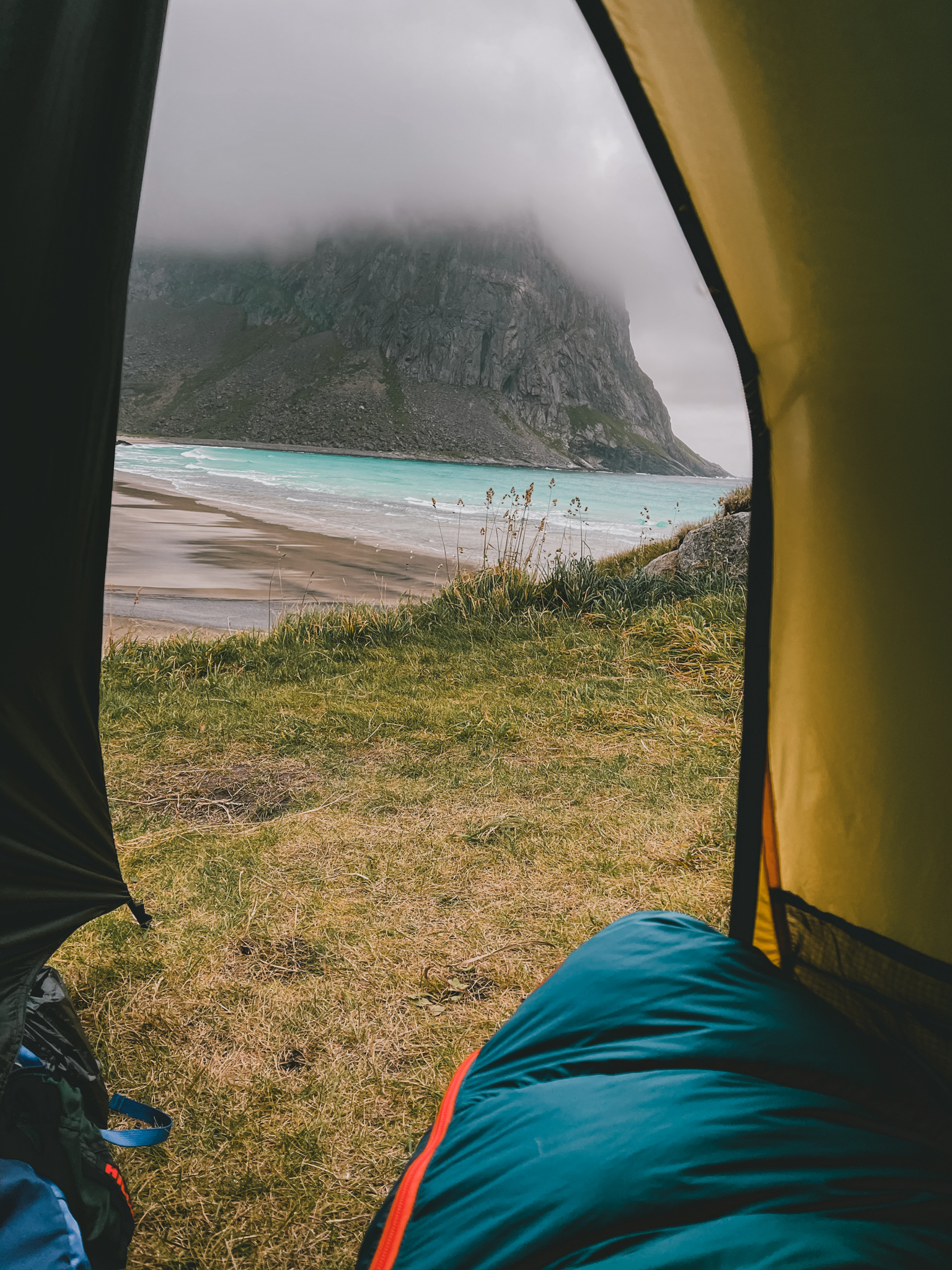
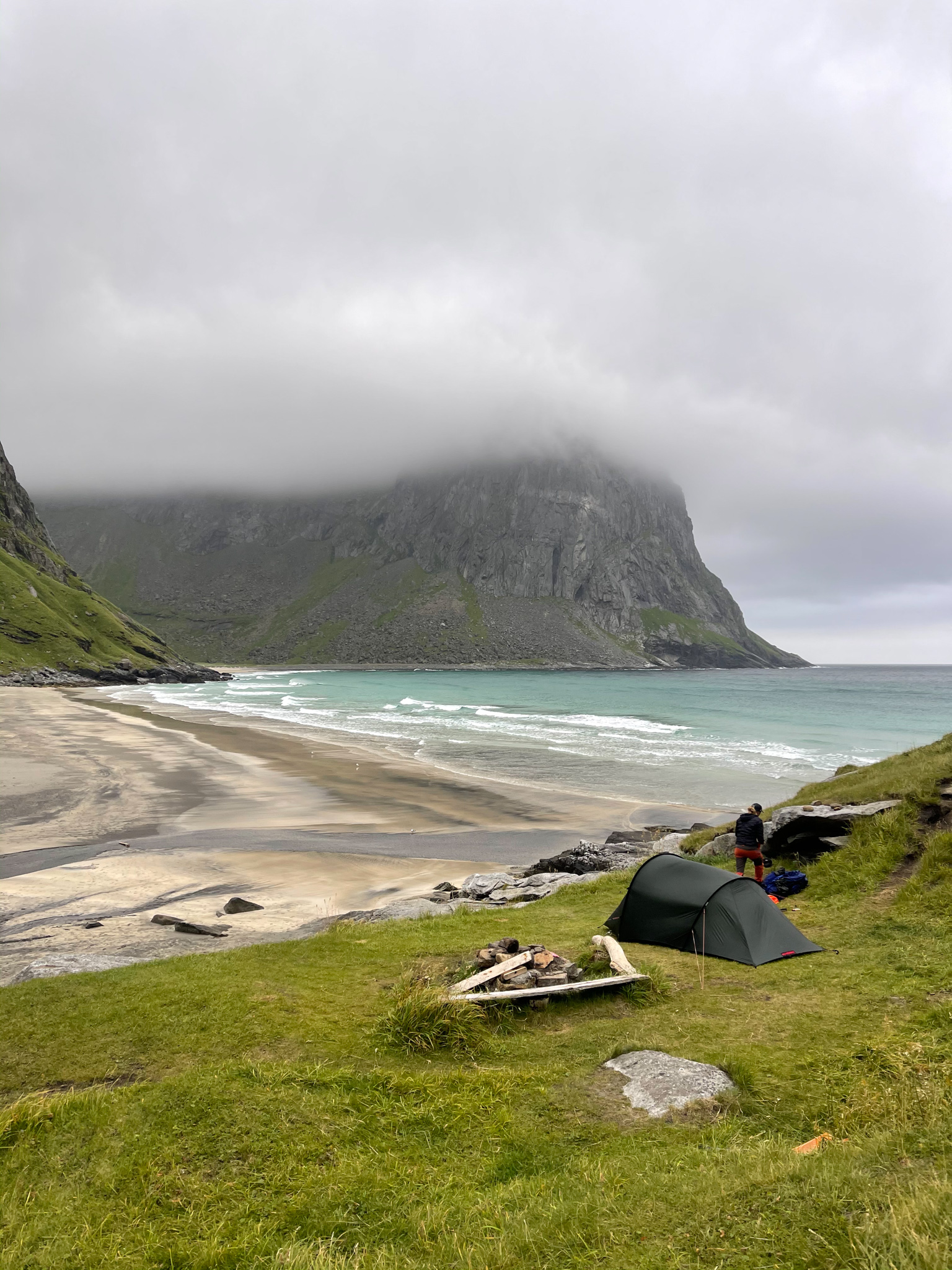
One of the highlights of Kvalvika Beach is its perfect camping opportunities. The relatively easy hike makes it an excellent spot to pitch your tent and spend the night surrounded by nature's wonders. However, keep in mind that the popularity of the beach means it's no longer as quiet as it used to be. Arriving early will increase your chances of finding a great camping spot before the crowd arrives. The back of the beach offers flat grassy turf, providing scenic areas for setting up camp.
When it comes to water, the best source is the stream on the right side of the beach, near the trail to Ryten. You'll find ample driftwood to start a campfire, but make sure to use existing spots to preserve the environment.
Also, don't forget to check the weather forecast at Yr.no before your trip to avoid any unexpected gales, even in the summer.

Continue the Hike From Kvalvika to Ryten Mountain (543m)
Distance from Kvalvika beach: 2,5 km
Elevation: 543 m
Hike duration: 1,5-2 h
Difficulty: Easy-Moderate
If you're up for a more exhilarating challenge and seeking one of the most iconic views in Lofoten, I highly recommend hiking up to Ryten Mountain. The trail begins on the right side of Kvalvika Beach and offers a rewarding experience. Keep in mind the following details:
Prepare yourself for a steep climb at the start, as this is the most challenging part of the route. Once you conquer the ascent, you'll find yourself on a plateau. Look to the right side of the trail, and you'll spot a small lake. Just beyond the lake, the trail diverges, and you should head left. The path from here is relatively easy, and in no time, you'll reach the summit of Ryten Mountain.
Take a moment to soak in the jaw-dropping views and let the beauty of Lofoten unfold before your eyes.
Enjoy the views!
Read more hiking guides in Lofoten:
Hiking guide Reinebringen
Hiking guide Festvågtind and Torsketunga
[spacer]





3 Comments