Nestled within the remote wilderness of northern Sweden lies Sarek National Park, a beautiful landscape of towering mountains, blue rivers, and pristine wilderness. Often hailed as the last true wilderness in Europe, Sarek beckons adventurers with its untouched beauty and raw wilderness. Among its many natural wonders, Skierfe mountain stands as a majestic sentinel, offering breathtaking panoramic views of the surrounding Rapadalen valley. In this guide, we give all details you need for a journey to Skierfe, where you'll discover the unparalleled beauty of Sarek and experience the thrill of hiking in one of Europe's most pristine landscapes.
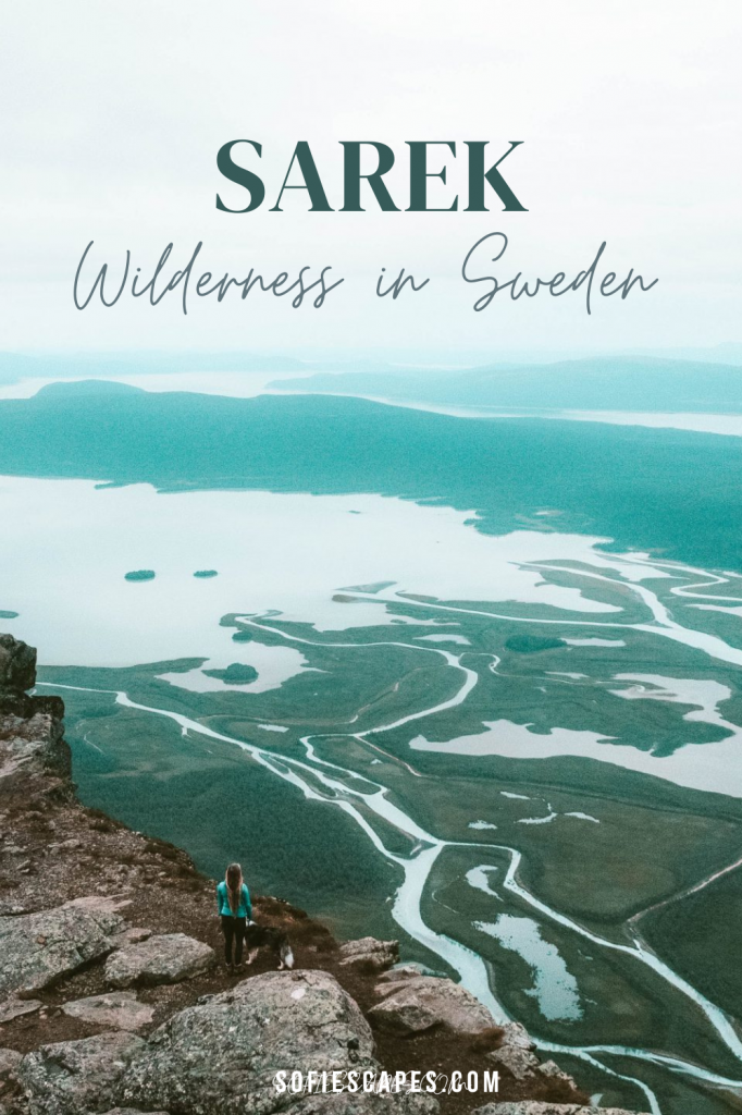
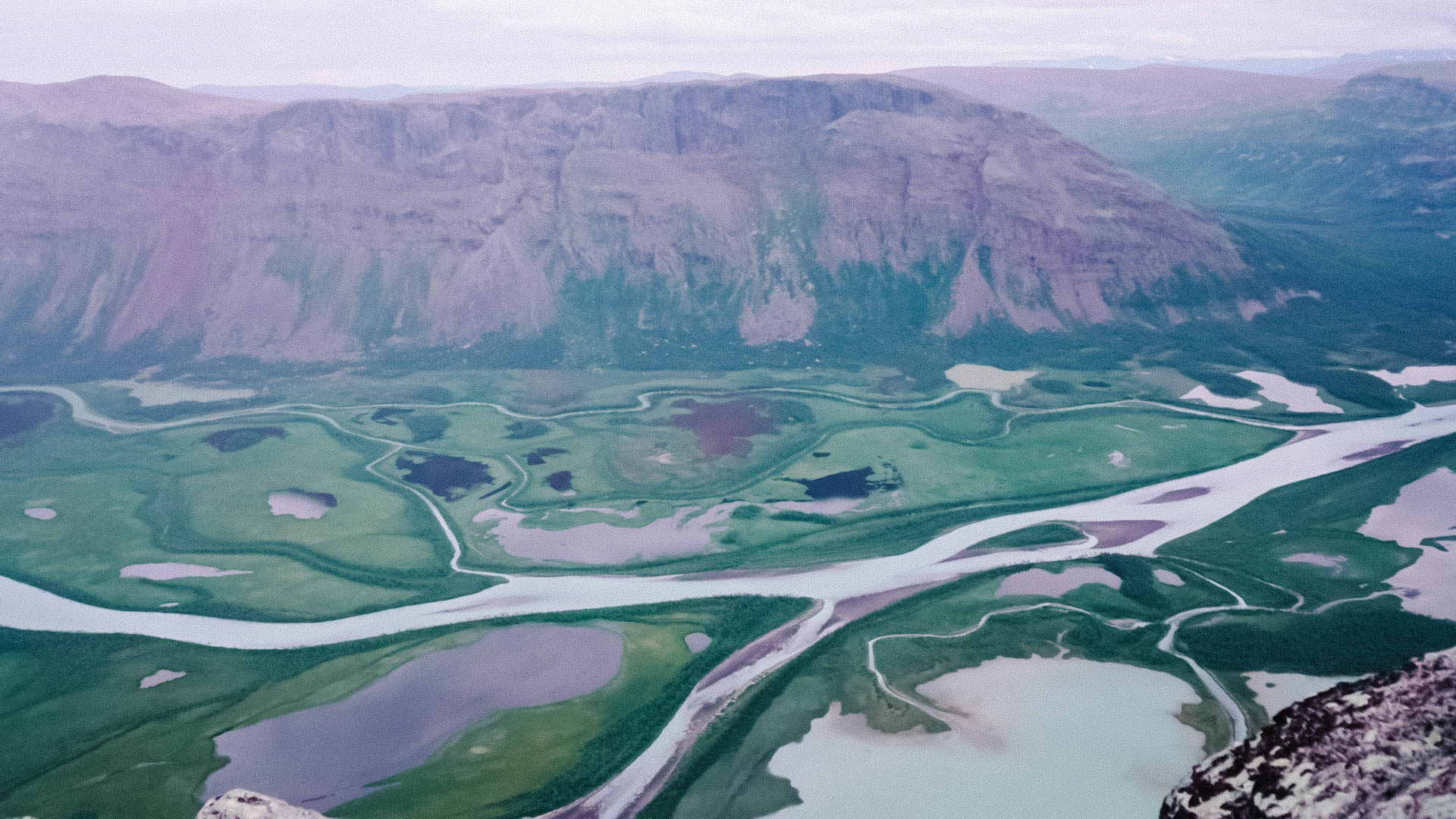
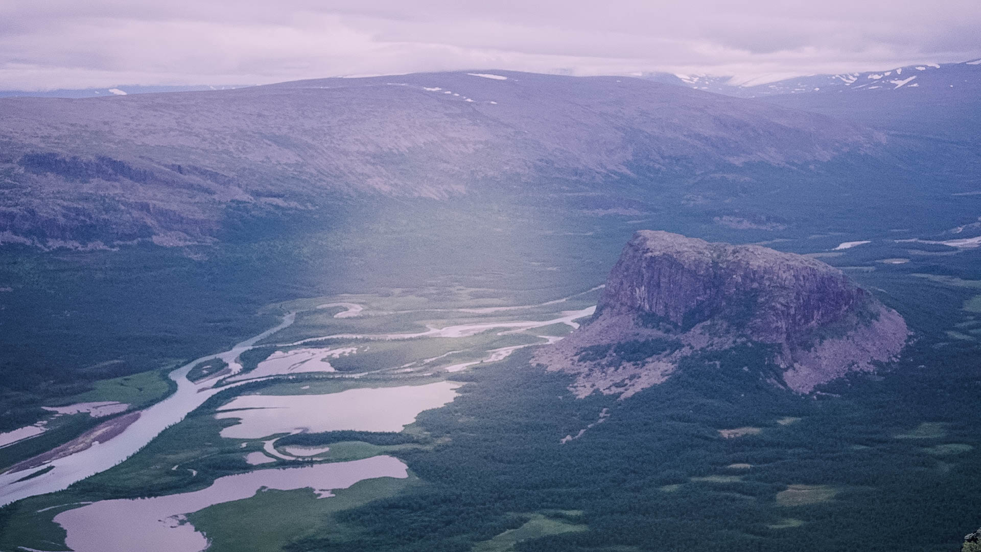
Nestled on the fringes of Sarek National Park lies Skierfe, offering arguably one of Sweden's most magnificent views. If you've ever been captivated by the incredible images of Sarek's delta and its turquoise waterways, chances are they were taken from here. Skierfe stands tall at 700 meters above the majestic Rapadalen, through which much of the meltwater from the Sarek mountains flows.
Sarek is often perceived as remote and rugged, which it certainly is. This perception often deters many from even considering it for their hiking bucket list. However, embarking on a journey to Skierfe is more achievable than one might think, offering most a chance to experience a slice of Sarek and Rapadalen.
Location: Skierfe
Distance: 48 km round-trip
Elevation: 770 meters
Hike duration: 10+ hours
Difficulty: Easy
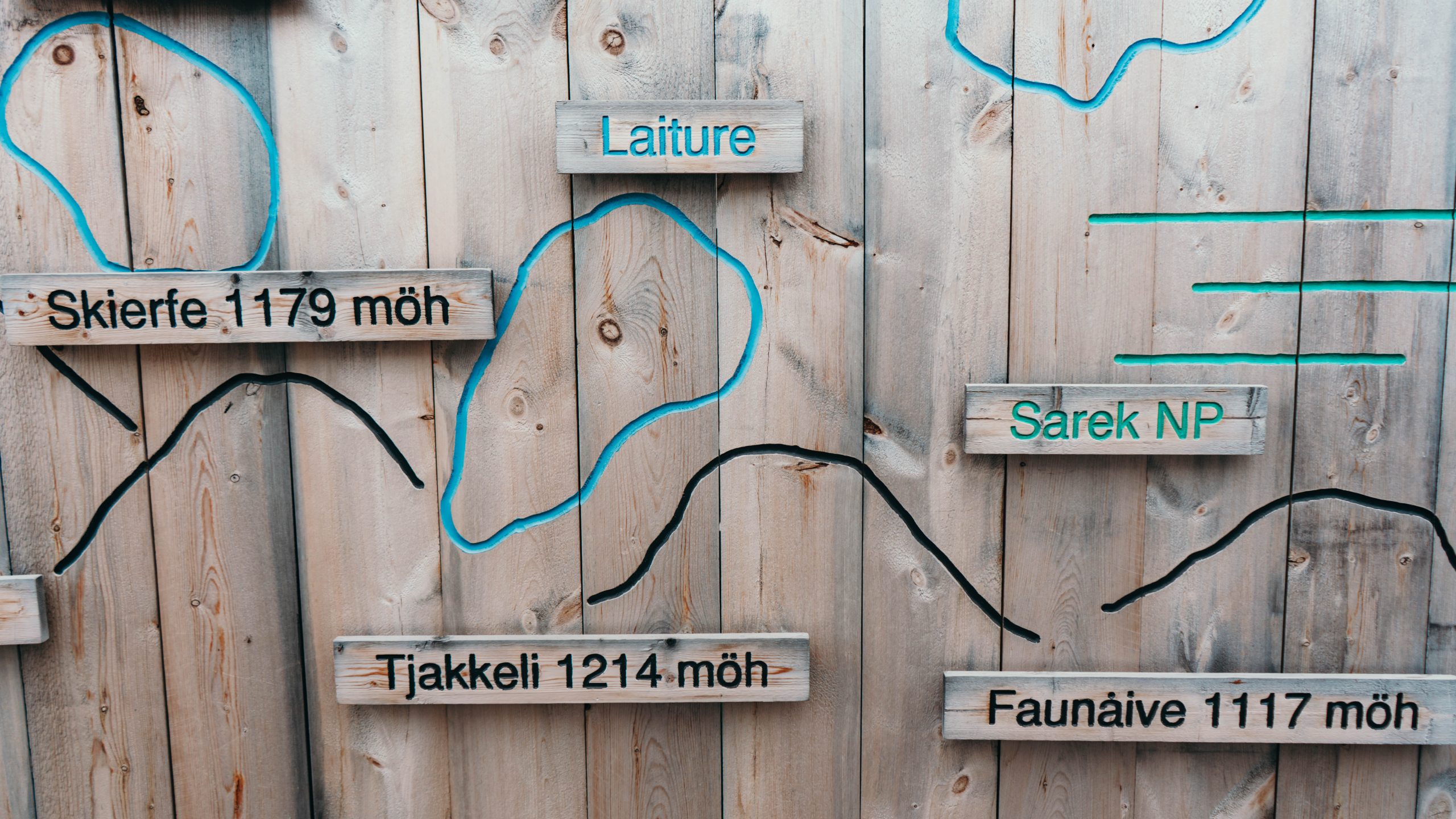
Starting from Sitoälvsbron – Your Gateway to Skierfe and Sarek
In July, amidst the warmer months in the Laponia World Heritage Site, we felt the call of Skierfe. Research led us to discover that the shortest hiking route begins at the so-called Sitoälvsbron in the municipality of Jokkmokk. Other routes into Sarek take several days or are accessible only by helicopter. Sitoälvsbron is gated with a chain, and on the other side, a 10-kilometer ATV trail begins towards Lake Lájtávrre.
With tents, gear, and food in our backpacks, we trek along the easy ATV trail, also known as the cycling path. The trail is deserted, but at the boat landing at the trail's end, one can wait for a boat ride. However, as we started our journey in the late afternoon, there were no more departures for the day. During summer, boat trips are available almost daily from the cycling path, so be sure to check the schedule on aktsebo.se.
The journey between the Cycling Path and Aktse costs 350 SEK one way. Remember to book the boat in advance via phone if coming from the cycling path, as there is no mobile coverage at the pier. Booking a day in advance is advisable and you also need to bring cash for payment. On the way back, the lodge hosts at Aktse Fjällstuga assist in booking the boat. The boat ride takes about 30 minutes. However, for us, without prior booking or plans for a boat ride, we continue hiking towards our next waypoint – Aktse. Many bring bikes and cycle the first mile, locking their bikes here.
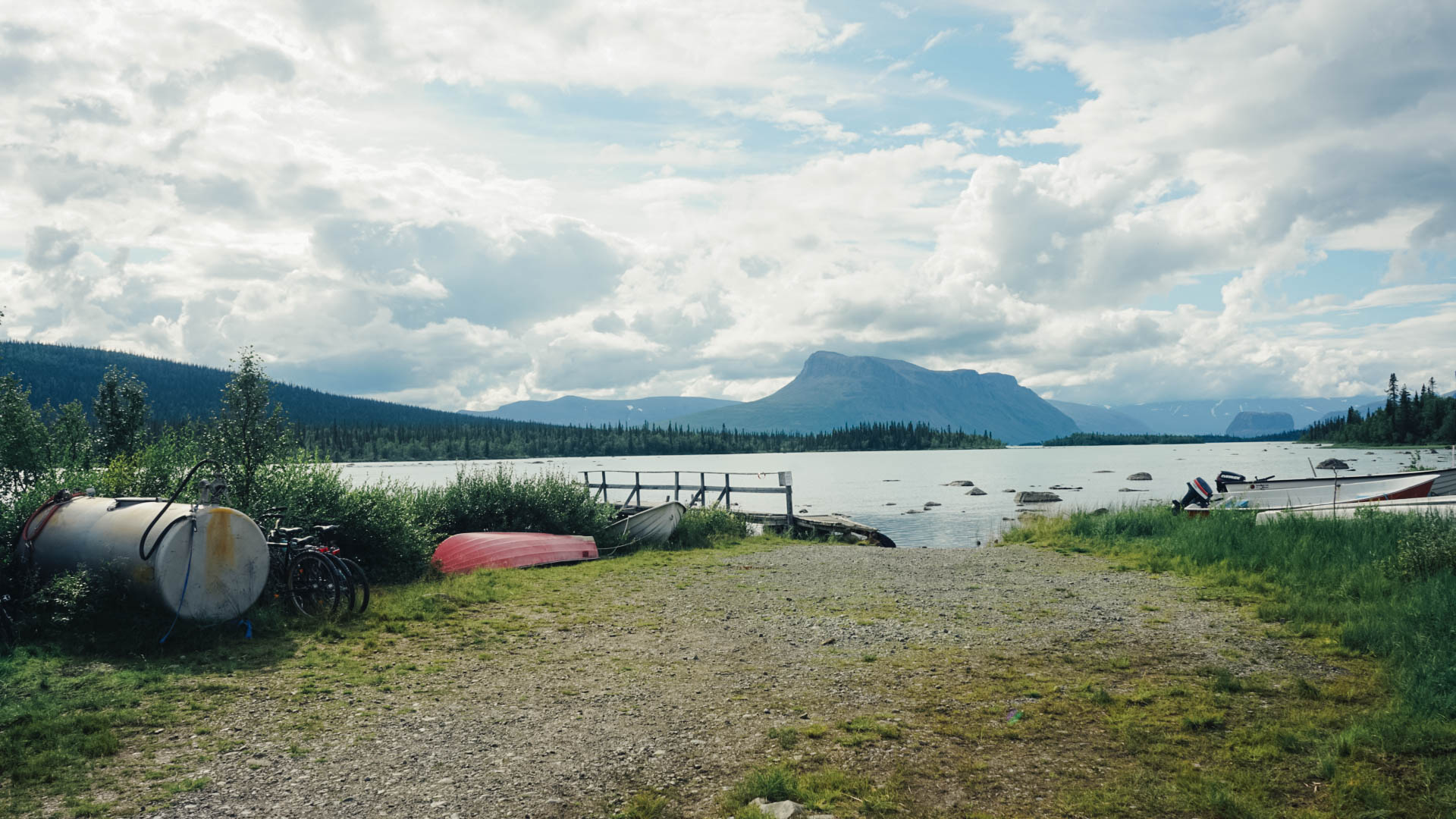
Aktse
Aktse, meaning "nine" in Sami, is a Sami mountain settlement dating back to 1820. Sarek and the wild nature of Rapadalen beckon, and Aktse is one of the most visited settlements in the mountains. The King's Trail passes through here, and the Swedish Tourist Association (STF) operates a manned mountain lodge at the foot of the mountain. The shop at the mountain station is open to all and accepts card payments. It offers food that does not require refrigeration, canned goods, easy-to-make freeze-dried meals, crispbread, cheese spreads, etc. You'll also find chips, cola, beer, as well as practical items like gas canisters and mosquito repellent.
The trail to Aktse initially follows the lake before veering into the mountain forest. There are no significant altitude differences, the trail is well-kept, and the hike is pleasant. At the other end of the trail, at Aktse, the gateway to Sarek opens.
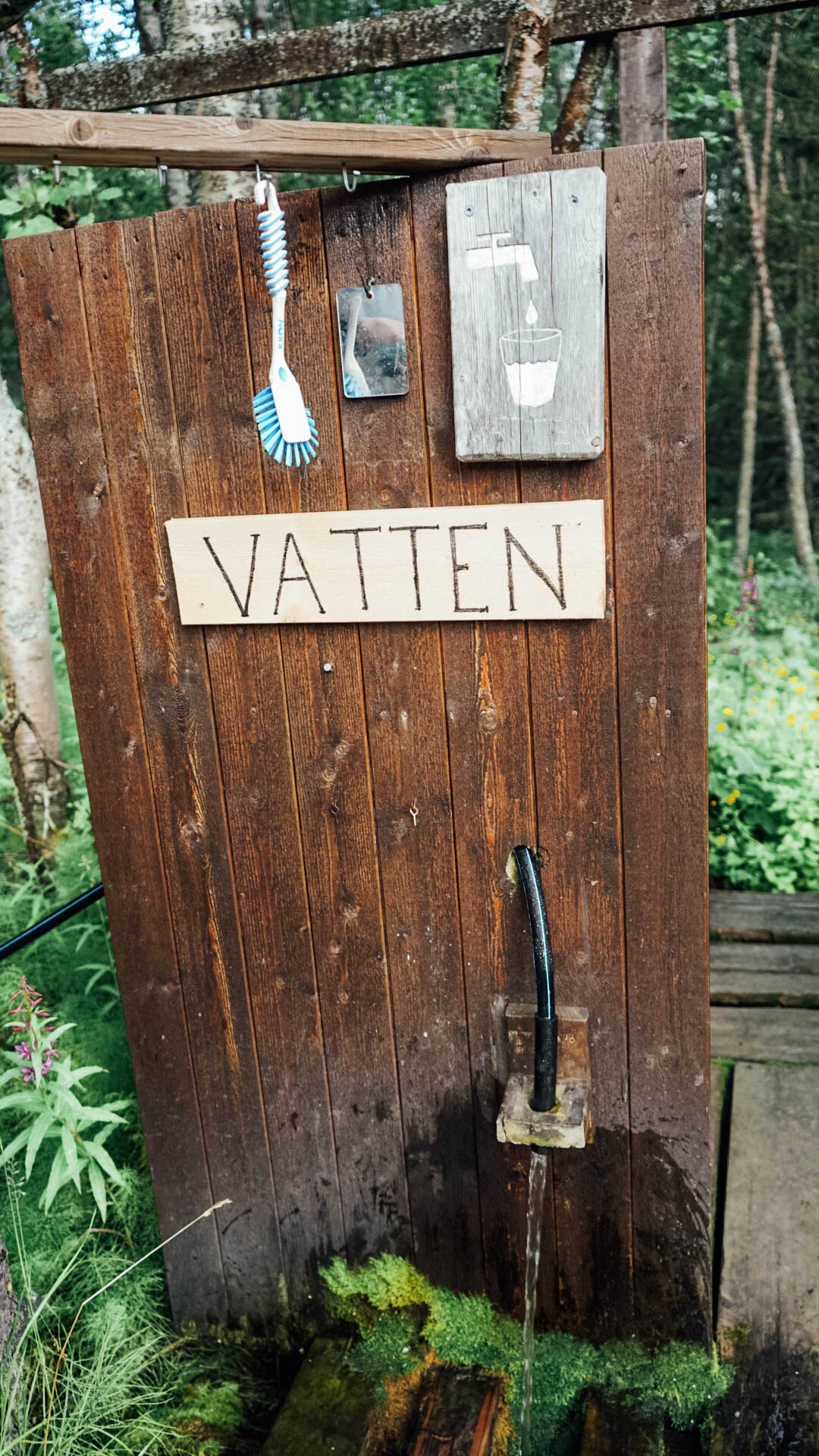
We arrive at the STF lodge in Aktse just before 7 p.m. The mosquito population here in the mountain birch forest is insane, even the ATV trail near Sitoälvsbron was teeming with mosquitoes. But according to the camp host, it has been worse. Our plan for the evening is to set up camp at the STF cabins for the convenience of having access to a kitchen, water, and an outdoor toilet. We cook dinner here and fill our water bottles. However, after some consideration, we decide to change our plan and instead continue along the King's Trail towards the tree line.
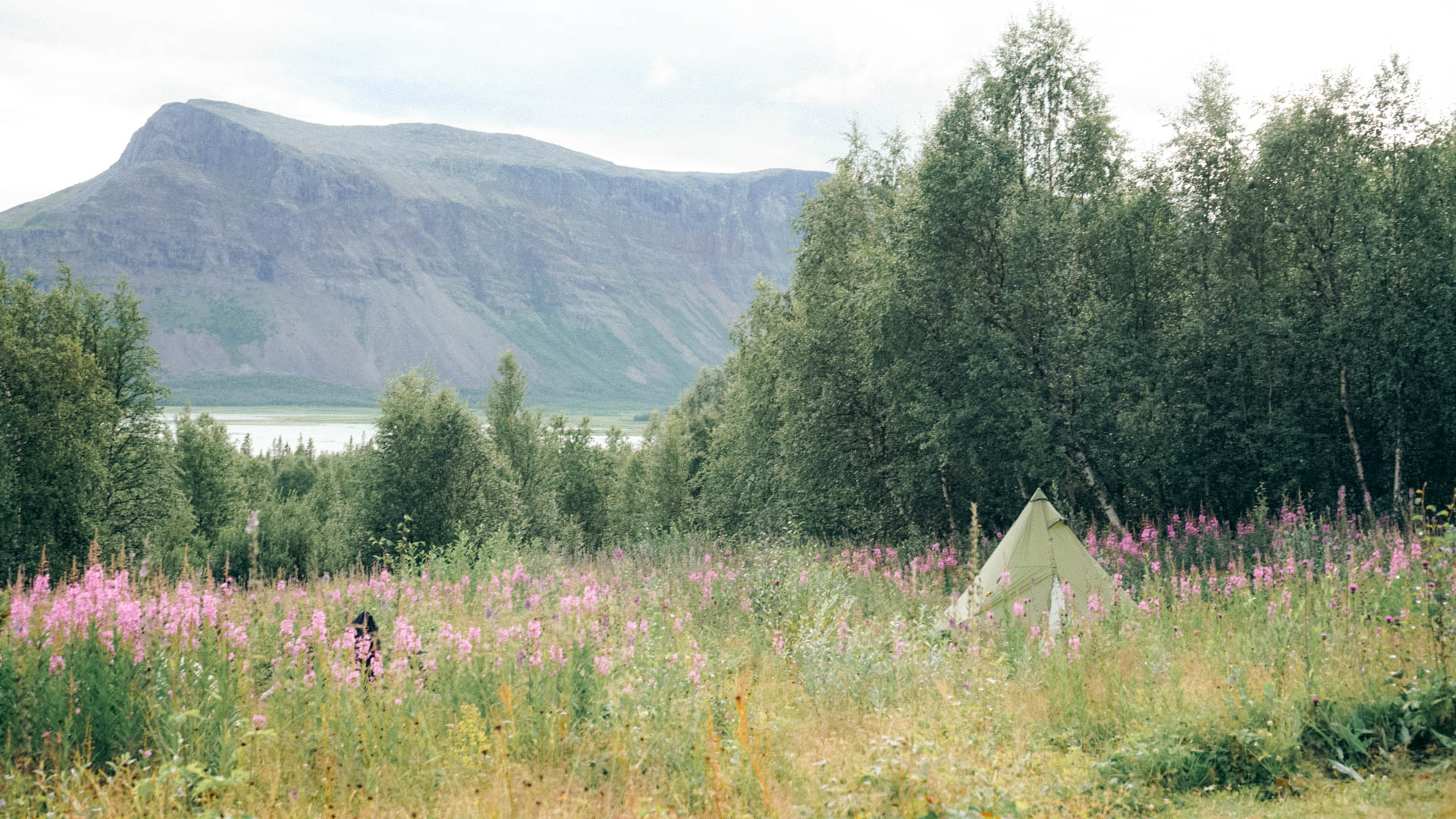
The King's Trail to Skierfe
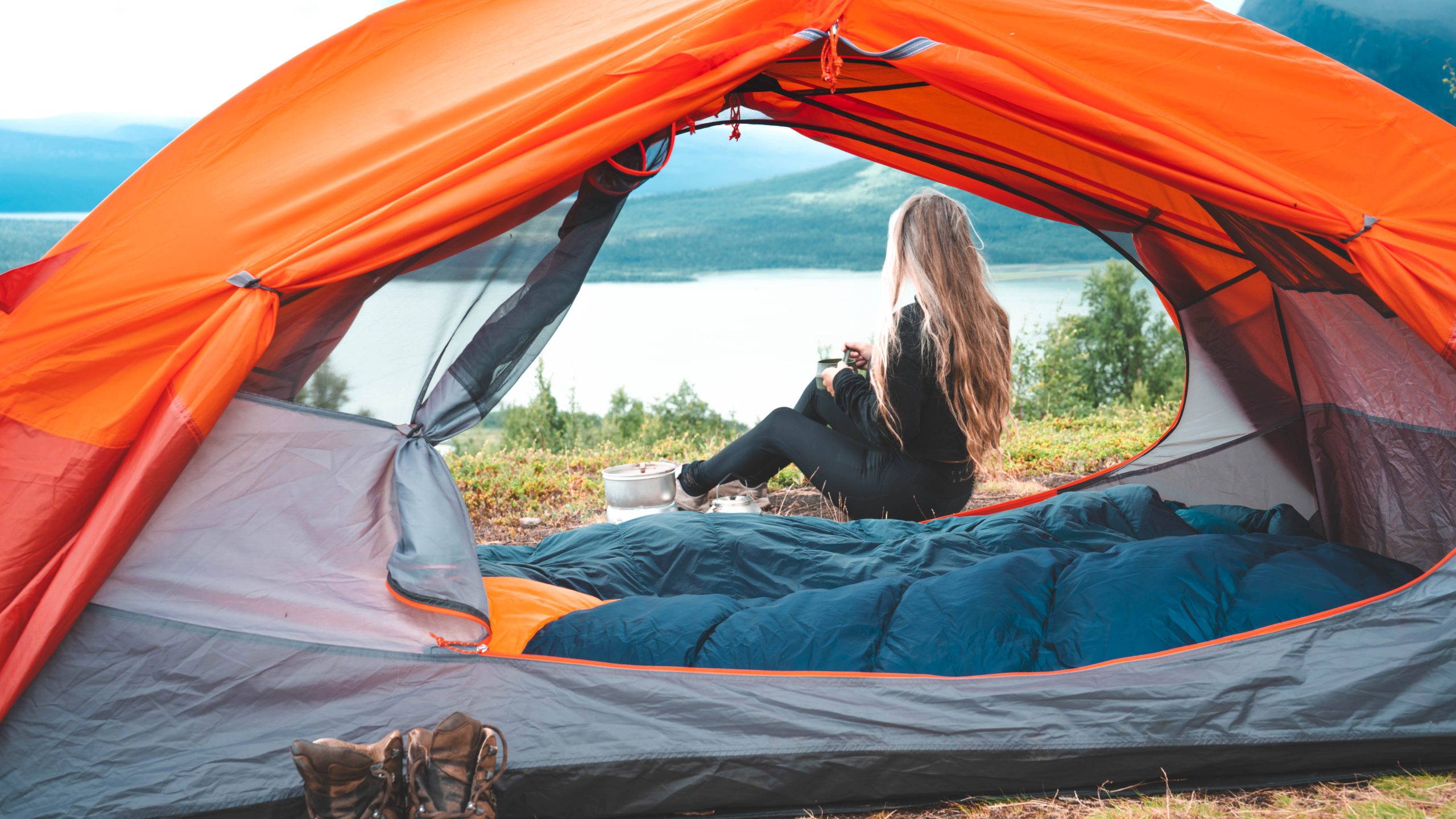
The King's Trail is steep and rocky. We maintain as brisk a pace as possible, and in less than 30 minutes, we reach the longed-for cooling breeze above the tree line. We acknowledge that leaving the birch forest and mosquitoes in Aktse behind was a wise move. It's virtually mosquito-free here. This is a perfect spot to pitch the tent with views of both Skierfe and Rapadalen. Anticipating the hike to Skierfe's peak, we actually decide to embark on it immediately because the weather is so favorable, calm wind and moderate temperature. Plus, it's practically daylight round the clock with the midnight sun at this time of year.
We have about 7 kilometers of hiking and a climb of 700 meters ahead of us to reach the top of Skierfe. It's shortly after this point that you'll set foot in Sarek National Park for the first time. It's a little over two hours of hiking to the top. There are hardly any streams along the trail, so be sure to carry enough water.
[row cols_nr="2"][col size="6"]
[/col][col size="6"]
[/col][/row]
Skierfe Mountain
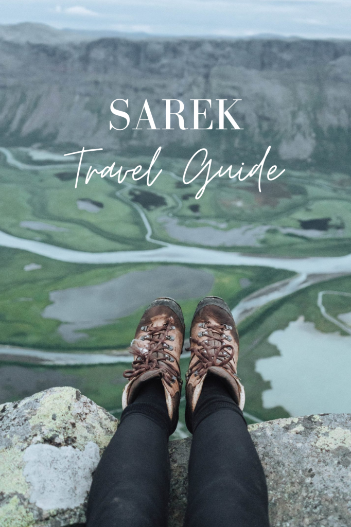
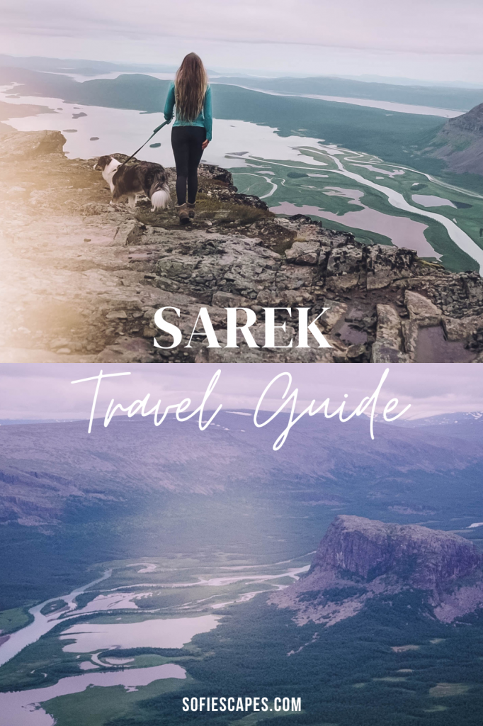
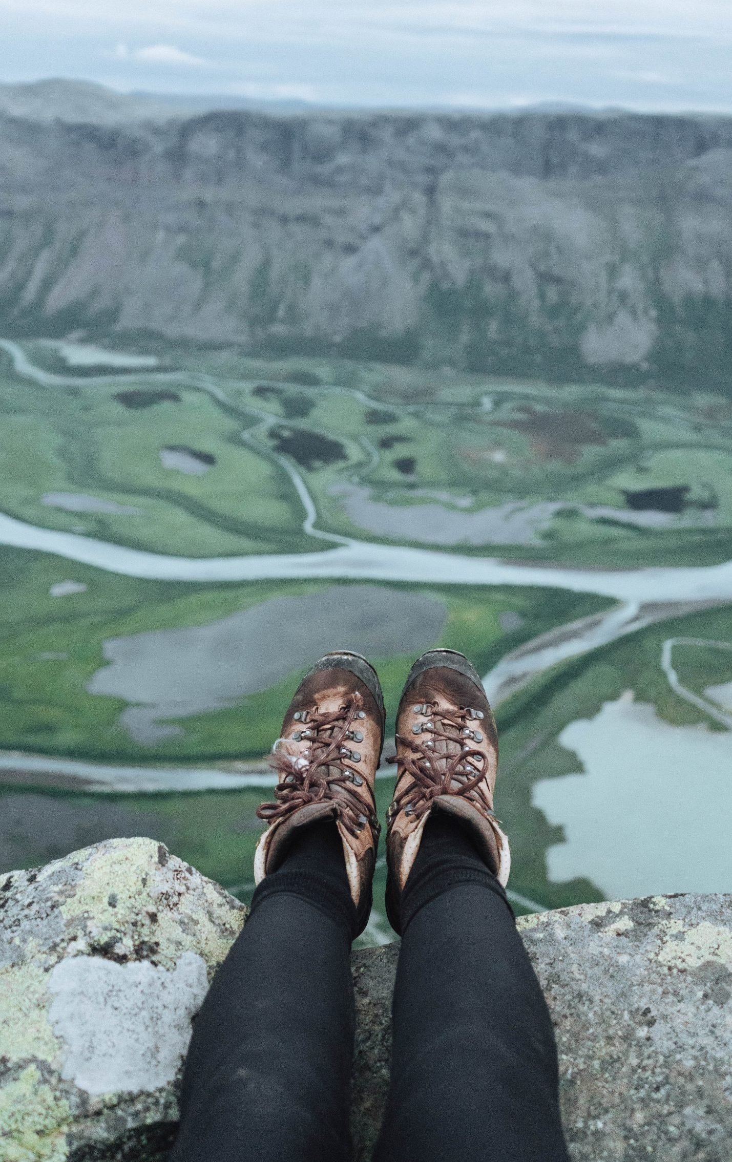
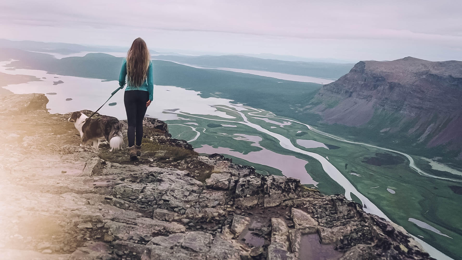
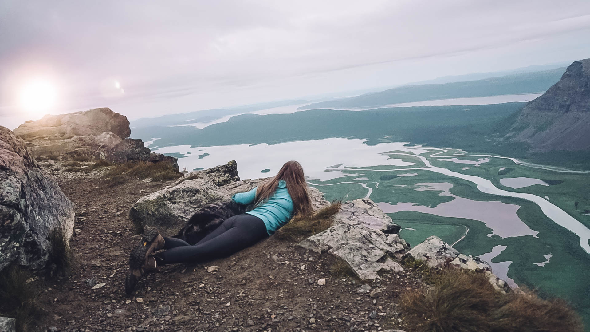
Despite having seen many pictures from the top of Skierfe, nothing can prepare you for what awaits. The view down into Sweden's largest delta landscape with the distinctive peak Nammatj in the center is nothing short of magnificent. Further to the west, you can see Sarek's 2000-meter peaks and glaciers. Those who claim this is Sweden's most beautiful spot might indeed have a point, to say the least. My late arrival at 11 p.m. also meant I had the entire mountain to myself, along with my dog Muffin.
We plan to spend the night at the tree line in the tent for one night and return to the tent late at night after midnight. The many miles begin to take a toll on the body, and it feels magical to return to the tent. The dog has never fallen asleep so quickly.
The Journey Back to Sitoälvsbron
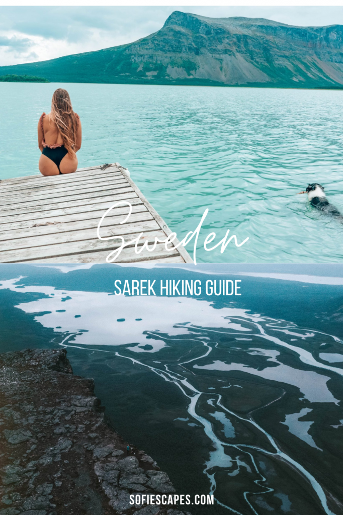
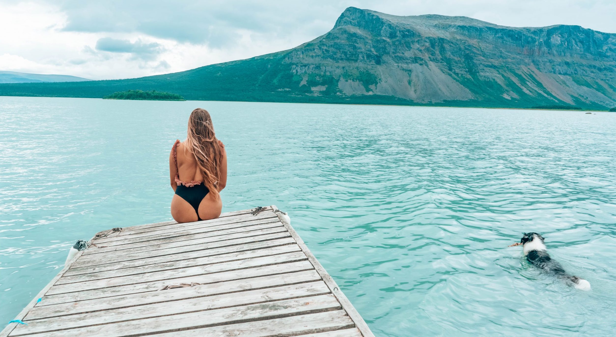
The next morning, the sun is shining, and the weather forecast looks good. However, we don't want to linger longer as a heavy rainstorm is forecasted for the following day. We have breakfast, pack up our things, and head back down into the valley. Before continuing our hike into the forest, I take my dog down to the boat landing, which is 1 km away, where there's a dock, and we take a refreshing swim in the light blue waters of Rapadalen. When we make it through the forest hike and return to the ATV trail, it starts to feel like we've covered a lot of ground in the past day, and we still have 2 hours of hiking left to the car. The mosquitoes also make it undesirable to stop and rest. When we finally reach Sitoälvsbron and the car, a sigh of relief escapes us, and we have returned to civilization.
Skierfe Hiking Details
Getting to Sitoälvsbron
By car, drive from Jokkmokk towards Kvikkjokk. After 74 kilometers, just before Tjåmotis, turn right towards Seitevare power station. The turnoff is signposted, so it's easy to find with a little attention. The gravel road to Sitoälvsbron is 20 km and ends at the parking lot next to the bridge. It takes about an hour by car from Jokkmokk to Sitoälvsbron.
Hiking Distance and Duration to Skierfe
From Sitoälvsbron, it's 10 kilometers to Lake Lájtávrre along the ATV trail, also known as the "cycling path." It's possible to cycle the entire way, with mountain biking being preferable. Cycling the distance at a decent pace takes about 1 hour. If you hike like us, expect 2 to 3 hours; we completed it in 2 hours.
From the end of the cycling path, it's a 6-kilometer hike to Aktse, where the STF cabin is located. The trail is easy and goes through the mountain forest. We covered the distance in 1.5 hours. During July and August, it's usually possible to book a boat ride across the lake. Read more here about times and how it works.
From Aktse to the top of Skierfe is approximately 8 kilometers of hiking. It's uphill all the way, but the hike never feels particularly strenuous. Allow at least 2.5 to 3 hours one way from Aktse to the top. So, in total, from parking the car at Sitoälvsbron, it's 24 kilometers to the top of Skierfe. A piece of cake, indeed!
STF Aktse Tent or Lodge Accommodation
Tent sites are available next to the STF cabin and cost 250 SEK per person. No advance booking is needed for tent sites. Many choose to camp above the tree line, right where the trail to Skierfe begins. There are nice tent sites with fantastic views. Water is available from a spring near the King's Trail, just below the tree line.
Don't Forget
Mosquito repellent if you're hiking during July and early August. Aktse is a well-known mosquito haven, and the absence of repellent can ruin the entire hike. Water bottles – there aren't many places to refill water, so carry what you need. Your credit card, to pay for a tent site at the STF cabins in Aktse or to buy a ridiculously good Coca-Cola or Fanta when you return from conquering Skierfe.
Hiking Skierfe with Your Dog Companion
For many outdoor enthusiasts, hiking is not just a solitary pursuit; it's an opportunity to share the experience with a furry friend. If you're planning to hike to Skierfe with your dog, there are a few considerations to keep in mind to ensure a safe and enjoyable journey for both you and your dog companion.
Water Supply in Skierfe
While there is running water along the ATV trail, water sources are fewer in the forest. Once you reach Aktse, running water is available again, and there are a few more spots near Skierfe. Remember to keep your dog hydrated, especially on longer hikes like this one. Consider carrying a collapsible water bowl for your dog and ensuring they have regular access to water.
Packing Essentials for Your Dog
Just like you, your dog will need supplies for the hike. Consider equipping your pup with a doggie backpack to carry their own essentials such as a sleeping bag, food, and water bowl. Keep in mind that on a long hike like this, dogs expend extra energy and may need more food than usual to sustain their energy levels. Additionally, don't forget to pack any necessary medications, first aid supplies, and waste bags for your dog.
Dealing with Mosquitos
The Swedish wilderness is teeming with insects, especially during the summer months. While mosquito repellent can help, it may not provide complete protection for your dog. Consider using a dog-friendly insect repellent and be prepared to deal with pesky mosquitoes along the way. If your dog is particularly bothered by insects, you may want to invest in a lightweight mesh jacket or other protective gear.
Managing Fatigue
Even the most active and adventurous dogs can tire out on a long hike. Pay attention to your dog's energy levels and be prepared to take breaks as needed. Remember that dogs can't communicate when they're feeling exhausted, so it's up to you to monitor their condition and make adjustments accordingly. Watch for signs of fatigue such as lagging behind, excessive panting, or reluctance to continue hiking.
Respecting Wildlife
As you hike from Sitoälvsbron to Sarek National Park, it's essential to respect the local wildlife, including reindeer and other animals. Keep your dog leashed at all times and ensure they do not disturb or harass any wildlife along the trail.
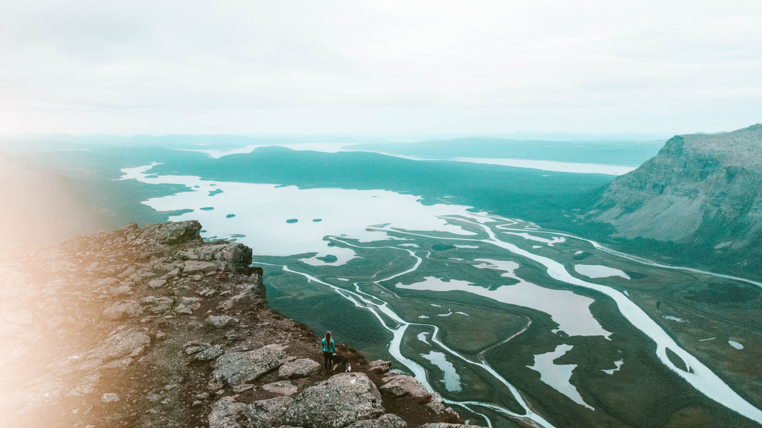
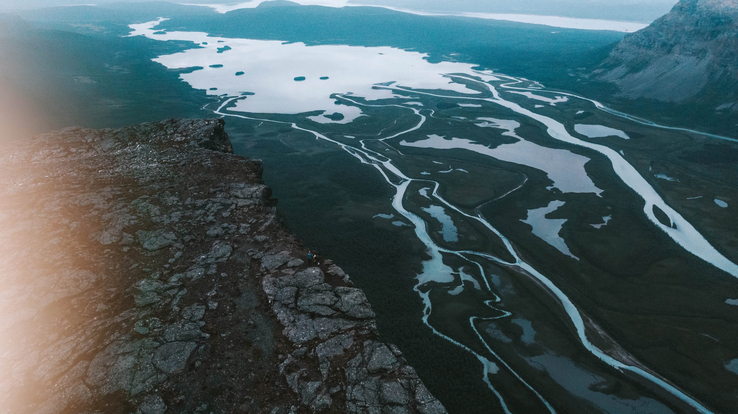
Sarek may seem inaccessible, but it really doesn't have to be; a trip to Skierfe is something most people can manage.
Is this hike on your bucket list? Let me know in the comments below!
LIKE THIS POST? PIN IT FOR LATER AND SHARE IT WITH OTHERS!

